- Super User
- Blog
- Read Time: 5 mins
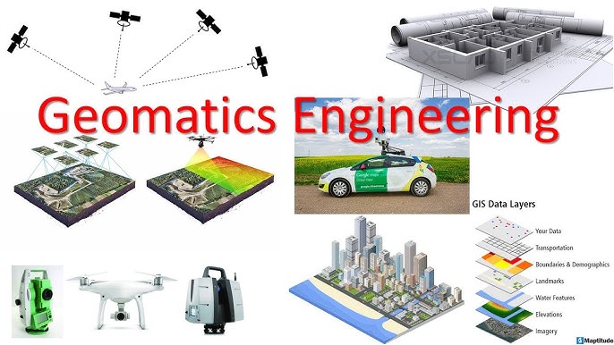
Geomatics Engineering, also known as Geospatial Engineering or Surveying Engineering, is an interdisciplinary field that focuses on the collection, analysis, and management of spatial data. This data is used for a variety of applications, including mapping, land surveying, navigation, urban planning, environmental monitoring, and resource management. Geomatics engineers use advanced technologies such as Geographic Information Systems (GIS), Global Positioning Systems (GPS), remote sensing, and photogrammetry to gather and analyze spatial information.