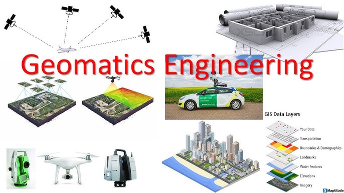
Geomatics Engineering, also known as Geospatial Engineering or Surveying Engineering, is an interdisciplinary field that focuses on the collection, analysis, and management of spatial data. This data is used for a variety of applications, including mapping, land surveying, navigation, urban planning, environmental monitoring, and resource management. Geomatics engineers use advanced technologies such as Geographic Information Systems (GIS), Global Positioning Systems (GPS), remote sensing, and photogrammetry to gather and analyze spatial information.
Course Overview
A Geomatics Engineering program typically covers a wide range of topics related to the measurement and analysis of the Earth's physical features. The curriculum includes foundational courses in mathematics, physics, and computer science, along with specialized courses in geodesy, GIS, remote sensing, and land surveying. Practical training and fieldwork are integral components of the program, providing students with hands-on experience in using geomatic tools and techniques.
Key Areas of Study in Geomatics Engineering
-
Geodesy
- The science of measuring and understanding the Earth's geometric shape, orientation in space, and gravity field.
- Topics: Earth shape modeling, satellite geodesy, reference systems, and timekeeping.
-
Land Surveying
- The process of determining the terrestrial or three-dimensional position of points and the distances and angles between them.
- Topics: Topographic surveying, boundary surveying, cadastral surveying, and legal aspects of land tenure.
-
Cartography and Geographic Information Systems (GIS)
- The art and science of map-making and the use of GIS for spatial data management and analysis.
- Topics: Map design and production, spatial data analysis, geospatial database design, and GIS applications.
-
Remote Sensing
- The acquisition of information about the Earth's surface using satellite or aerial imagery.
- Topics: Image processing, multispectral and hyperspectral imaging, radar and lidar systems, and environmental monitoring.
-
Photogrammetry
- The science of making measurements from photographs, particularly for creating maps and 3D models.
- Topics: Aerial photography, stereo photogrammetry, 3D modeling, and digital elevation models (DEMs).
-
Hydrographic Surveying
- The measurement and description of physical features of oceans, seas, lakes, rivers, and their shorelines.
- Topics: Bathymetric mapping, underwater acoustics, and marine navigation.
-
Spatial Data Analysis and Modeling
- Techniques for analyzing and modeling spatial phenomena.
- Topics: Spatial statistics, geostatistics, spatial interpolation, and spatial decision support systems.
-
Global Navigation Satellite Systems (GNSS)
- Satellite systems used for navigation and positioning, including GPS, GLONASS, Galileo, and BeiDou.
- Topics: GNSS positioning, real-time kinematics (RTK), differential GPS (DGPS), and GNSS data processing.
-
Engineering Surveying and Construction
- Surveying techniques used in construction projects for the precise positioning of structures.
- Topics: Construction layout, deformation monitoring, and as-built surveys.
-
Geospatial Data Management
- The management and processing of geospatial data, including data quality and standards.
- Topics: Data formats, metadata, data integration, and data sharing.
Course Structure
The course structure for Geomatics Engineering typically includes:
-
Foundation Courses
- Mathematics: Calculus, linear algebra, statistics.
- Physics: Mechanics, wave theory, and optics.
- Computer Science: Programming, data structures, and algorithms.
-
Core Geomatics Courses
- Geodesy, land surveying, GIS, remote sensing, and photogrammetry.
-
Specialized and Elective Courses
- Hydrographic surveying, GNSS, spatial data analysis, and geospatial data management.
-
Laboratory and Fieldwork
- Practical training in surveying techniques, GIS software, and remote sensing technologies.
-
Capstone Projects and Internships
- Opportunities for students to apply their knowledge to real-world projects, often in collaboration with industry or government agencies.
Career Opportunities
Graduates of Geomatics Engineering programs have a wide range of career opportunities in various sectors, including:
- Surveying and Mapping: Work as land surveyors, hydrographic surveyors, or mapping specialists.
- Geospatial Analysis: Analyze spatial data for urban planning, environmental management, and resource exploration.
- GIS and Remote Sensing: Develop and manage GIS databases, and use remote sensing for environmental monitoring and disaster management.
- Construction and Infrastructure Development: Provide surveying and geomatics support for construction projects, infrastructure development, and land development.
- Environmental and Natural Resources Management: Apply geomatics techniques to manage natural resources, monitor environmental changes, and support conservation efforts.
- Transportation and Navigation: Work in transportation planning, navigation systems, and location-based services.
- Defense and Intelligence: Provide geospatial intelligence for defense, security, and military operations.
- Academia and Research: Conduct research in geomatics and teach at universities and research institutions.
- Geospatial Consulting: Offer consulting services in GIS, remote sensing, and surveying.
Top Institutions Offering Geomatics Engineering Programs
- University of Calgary, Canada
- University of New Brunswick, Canada
- ETH Zurich, Switzerland
- University of Melbourne, Australia
- Wuhan University, China
- Technische Universität München (TUM), Germany
- University of Twente, Netherlands
- University of Southern California (USC), USA
- University of Cape Town, South Africa
- Royal Institute of Technology (KTH), Sweden
Conclusion
Geomatics Engineering is a dynamic and rapidly evolving field that plays a crucial role in a wide range of industries. By combining expertise in surveying, GIS, remote sensing, and data analysis, geomatics engineers provide critical insights into the spatial dimensions of various phenomena. Whether it's for urban planning, environmental monitoring, navigation, or resource management, the skills and knowledge acquired in this field are essential for addressing complex spatial challenges in today's world. Graduates are well-equipped for diverse and rewarding careers, contributing to the advancement of technology and the sustainable management of our environment and resources.